[Back]  [Dams in Japan]  [Japanese Page]


Dam data table
 
Dam No.:1987
 
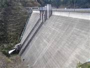
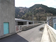
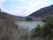
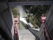
Uokiri Dam [Hiroshima Pref.]


Dam Photo

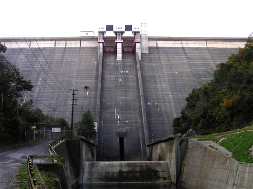
(Photo by: Atsushi Kato)
045212 Atsushi Kato
045215 Atsushi Kato
045211 Atsushi Kato
045214 Atsushi Kato
Location (Latitude, Longitude) N 34°251' 36'',E 132°19' 49''   [Japanese Dam Finder]
Purpose/Dam type FNWP/G
Height/Crest length/Dam volume 79.8m/255m/317 thousand m3
Catchment area/Water surface area 38.4km2/40ha
Reservoir capacity 8460 thousand m3
FY project started/completed 1971/1981


Notes:
1. Dam purposes are abbreviated as follows:
A: Agricultural irrigation   F: Flood control   I: Water supply for industry   N: Non-specified, river flow maintenance
P: Hydropower   R: Recreation   S: Snow melting &removing   W: Water supply

2. Dam types are abbreviated as follows:
A: Arch   B: Buttress   CSG: Trapezoidal CSG   E: Earthfill   FA: Asphalt face fill   FC: Asphalt core fill   G: Gravity
GF: Gravity concrete & fill dam (compound)   HG: Hollow gravity   MA: Multi-arch   R: Rockfill

3. The fiscal year (FY) in Japan is from April 1 to March 31 of the following year.

Please send your comments
Copyright 2012 JAPAN DAM FOUNDATION. All rights reserved.

[Back]  [Dams in Japan]  [Japanese Page]