Dam data table
|
Dam No.:2071
|
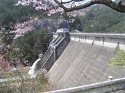
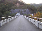
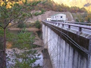
Ozegawa Dam [Hiroshima Pref.]
|
|
|
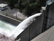
Dam Photo
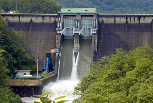
(Photo by: Kensan)
|
 045265 Atsushi Kato
|
|
 034030 Hi Ace
|
|
 034040 Hi Ace
|
|
 045266 Atsushi Kato
|
|
|
| Location (Latitude, Longitude) |
N 34°181' 29'',E 132°7' 24''
[Japanese Dam Finder]
|
| Purpose/Dam type |
FIP/G
|
| Height/Crest length/Dam volume |
49m/158m/96 thousand m3 |
| Catchment area/Water surface area |
135km2/90ha |
| Reservoir capacity |
11400 thousand m3 |
| FY project started/completed |
1956/1964
|
