Dam data table
|
Dam No.:2092
|
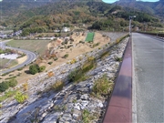
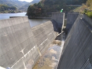
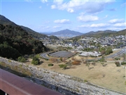
Yashiro Dam [Yamaguchi Pref.]
|
|
|
Dam Photo
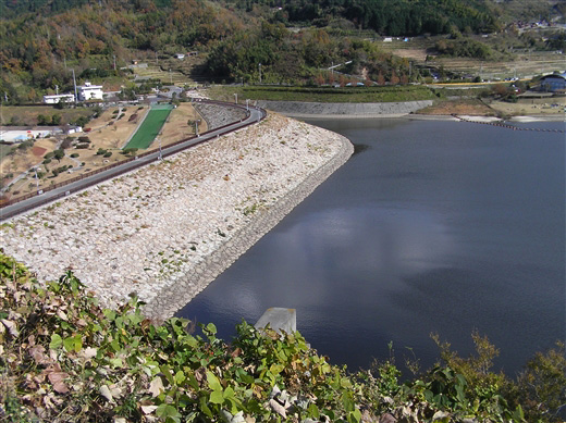
(Photo by: Atsushi Kato)
|
 045310 Atsushi Kato
|
|
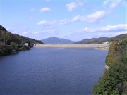 045311 Atsushi Kato
|
|
 045309 Atsushi Kato
|
|
 045308 Atsushi Kato
|
|
|
| Location (Latitude, Longitude) |
N 33°541' 31'',E 132°12' 58''
[Japanese Dam Finder]
|
| Purpose/Dam type |
FN/R
|
| Height/Crest length/Dam volume |
46.5m/371.7m/847 thousand m3 |
| Catchment area/Water surface area |
8.1km2/16ha |
| Reservoir capacity |
1550 thousand m3 |
| FY project started/completed |
1972/1990
|
