|
|
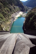
Dam Photo
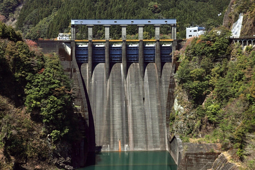
(Photo by: Takashi Yasukochi)
|
 106719 AGE101
|
|
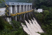
 034552 Hi Ace
|
|
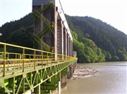
 112009 Takashi Yasukochi
|
|
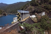
 112014 Takashi Yasukochi
|
|
|
| Location (Latitude, Longitude) |
N 33°481' 32'',E 134°21' 37''
[Japanese Dam Finder]
|
| Purpose/Dam type |
FNP/G
|
| Height/Crest length/Dam volume |
85.5m/200m/283 thousand m3 |
| Catchment area/Water surface area |
538.9km2/224ha |
| Reservoir capacity |
54278 thousand m3 |
| FY project started/completed |
1950/1955
|
