Dam data table
|
Dam No.:2123
|
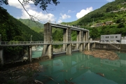
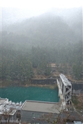
Minawa Dam [Tokushima Pref.]
|
|
|
Dam Photo
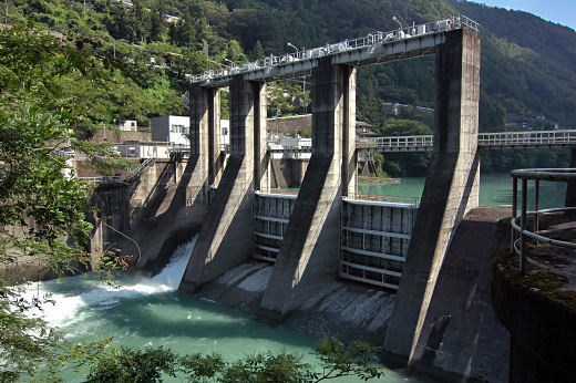
(Photo by: BARRAGE)
|
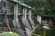 112038 Takashi Yasukochi
|
|
 105892 BARRAGE
|
|
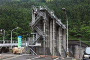 112039 Takashi Yasukochi
|
|
 106457 Hisa
|
|
|
| Location (Latitude, Longitude) |
N 33°571' 23'',E 133°47' 29''
[Japanese Dam Finder]
|
| Purpose/Dam type |
P/G
|
| Height/Crest length/Dam volume |
17m/80.8m/21 thousand m3 |
| Catchment area/Water surface area |
850.1km2/7ha |
| Reservoir capacity |
299 thousand m3 |
| FY project started/completed |
1957/1959
|
