Dam data table
|
Dam No.:2127
|
Nagoro Dam [Tokushima Pref.]
|
|
|
Dam Photo
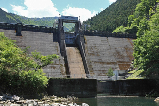
(Photo by: Takashi Yasukochi)
|
|
| Location (Latitude, Longitude) |
N 33°511' 03'',E 134°1' 45''
[Japanese Dam Finder]
|
| Purpose/Dam type |
P/G
|
| Height/Crest length/Dam volume |
37m/119.4m/45 thousand m3 |
| Catchment area/Water surface area |
21.2km2/9ha |
| Reservoir capacity |
1367 thousand m3 |
| FY project started/completed |
1960/1961
|
