Dam data table
|
Dam No.:2128
|
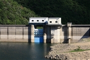
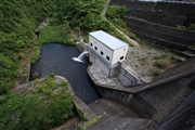
Miyakochi Dam [Tokushima Pref.]
|
|
|
Dam Photo
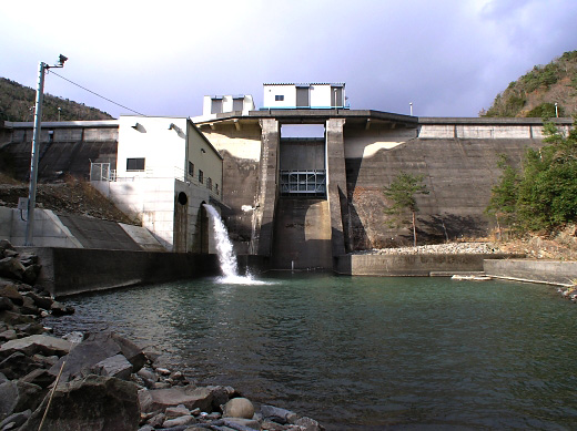
(Photo by: BARRAGE)
|
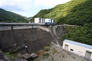 083446 Takashi Yasukochi
|
|
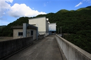 083447 Takashi Yasukochi
|
|
 083452 Takashi Yasukochi
|
|
 083448 Takashi Yasukochi
|
|
|
| Location (Latitude, Longitude) |
N 34°81' 51'',E 134°21' 18''
[Japanese Dam Finder]
|
| Purpose/Dam type |
FNA/G
|
| Height/Crest length/Dam volume |
36m/130m/40 thousand m3 |
| Catchment area/Water surface area |
23.1km2/13ha |
| Reservoir capacity |
1350 thousand m3 |
| FY project started/completed |
1959/1964
|
