Dam data table
|
Dam No.:2143
|
Tawatari-ike [Kagawa Pref.]
|
|
|
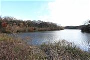
Dam Photo
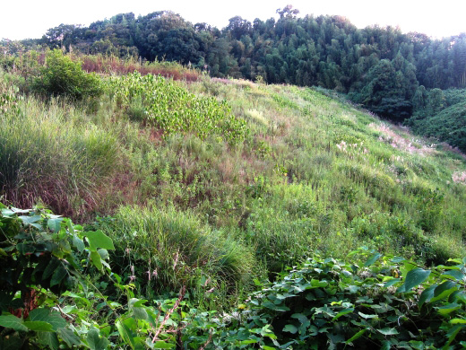
(Photo by: Rui Abe)
|
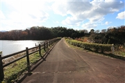
 117199 Takashi Yasukochi
|
|
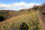 117198 Takashi Yasukochi
|
|
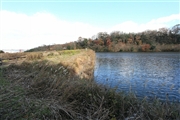
 117195 Takashi Yasukochi
|
|
 117203 Takashi Yasukochi
|
|
|
| Location (Latitude, Longitude) |
N 34°121' 53'',E 134°2' 12''
[Japanese Dam Finder]
|
| Purpose/Dam type |
A/E
|
| Height/Crest length/Dam volume |
18.4m/132m/51 thousand m3 |
| Catchment area/Water surface area |
km2/4ha |
| Reservoir capacity |
246 thousand m3 |
| FY project started/completed |
/1928
|
