Dam data table
|
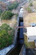
Dam No.:2184
|
Maeyama Dam [Kagawa Pref.]
|
|
|
Dam Photo
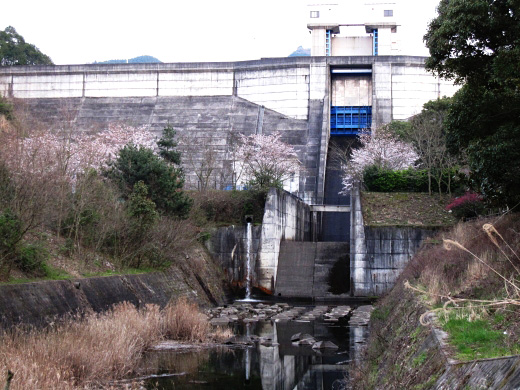
(Photo by: Rui Abe)
|
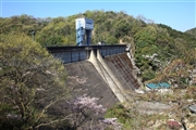 112285 Takashi Yasukochi
|
|
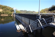 112287 Takashi Yasukochi
|
|
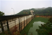 081612 Takashi Yasukochi
|
|
 121615 KIYOTAKA
|
|
|
| Location (Latitude, Longitude) |
N 34°131' 29'',E 134°10' 20''
[Japanese Dam Finder]
|
| Purpose/Dam type |
FNW/G
|
| Height/Crest length/Dam volume |
38.8m/181.5m/81 thousand m3 |
| Catchment area/Water surface area |
10.7km2/16ha |
| Reservoir capacity |
2130 thousand m3 |
| FY project started/completed |
1968/1974
|
