Dam data table
|
Dam No.:2235
|
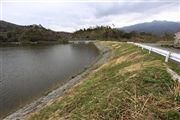
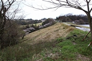
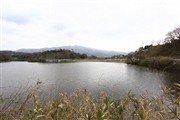
Tawarabara-ike [Ehime Pref.]
|
|
|
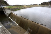
Dam Photo
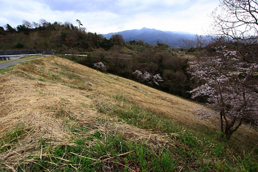
(Photo by: Takashi Yasukochi)
|
 123358 Takashi Yasukochi
|
|
 123353 Takashi Yasukochi
|
|
 123350 Takashi Yasukochi
|
|
 123351 Takashi Yasukochi
|
|
|
| Location (Latitude, Longitude) |
N 33°581' 52'',E 132°48' 57''
[Japanese Dam Finder]
|
| Purpose/Dam type |
A/E
|
| Height/Crest length/Dam volume |
25.5m/172m/300 thousand m3 |
| Catchment area/Water surface area |
0.5km2/12ha |
| Reservoir capacity |
1000 thousand m3 |
| FY project started/completed |
1937/1942
|
