Dam data table
|
Dam No.:2253
|
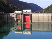
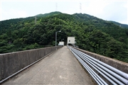
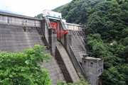
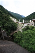
Shikamori Dam [Ehime Pref.]
|
|
|
Dam Photo
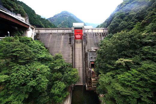
(Photo by: Takashi Yasukochi)
|
 034788 Hi Ace
|
|
 083516 Takashi Yasukochi
|
|
 083518 Takashi Yasukochi
|
|
 083517 Takashi Yasukochi
|
|
|
| Location (Latitude, Longitude) |
N 33°531' 38'',E 133°18' 36''
[Japanese Dam Finder]
|
| Purpose/Dam type |
FIP/G
|
| Height/Crest length/Dam volume |
57.9m/108.6m/82 thousand m3 |
| Catchment area/Water surface area |
51.1km2/8ha |
| Reservoir capacity |
1590 thousand m3 |
| FY project started/completed |
1958/1962
|
