Dam data table
|
Dam No.:2263
|
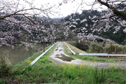
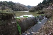
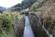
Kasen Dam [Ehime Pref.]
|
|
|
Dam Photo
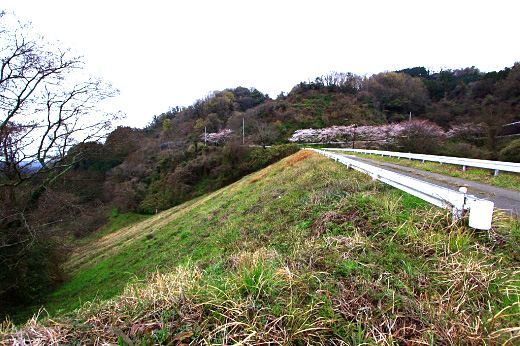
(Photo by: Takashi Yasukochi)
|
 123455 Takashi Yasukochi
|
|
 123460 Takashi Yasukochi
|
|
 123457 Takashi Yasukochi
|
|
 123454 Takashi Yasukochi
|
|
|
| Location (Latitude, Longitude) |
N 34°01' 50'',E 132°52' 18''
[Japanese Dam Finder]
|
| Purpose/Dam type |
A/E
|
| Height/Crest length/Dam volume |
41m/120m/122 thousand m3 |
| Catchment area/Water surface area |
3.9km2/3ha |
| Reservoir capacity |
366 thousand m3 |
| FY project started/completed |
/1973
|
