Dam data table
|
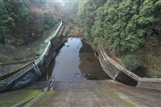
Dam No.:2316
|
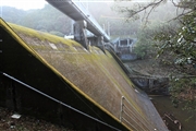
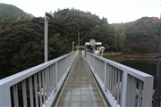
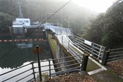
Yasuba Dam [Kochi Pref.]
|
|
|
Dam Photo
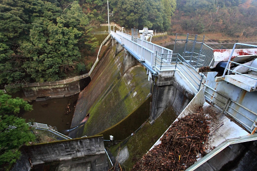
(Photo by: Takashi Yasukochi)
|
 117883 Takashi Yasukochi
|
|
 117875 Takashi Yasukochi
|
|
 117880 Takashi Yasukochi
|
|
 117886 Takashi Yasukochi
|
|
|
| Location (Latitude, Longitude) |
N 33°381' 55'',E 133°41' 14''
[Japanese Dam Finder]
|
| Purpose/Dam type |
P/G
|
| Height/Crest length/Dam volume |
18m/64.2m/5 thousand m3 |
| Catchment area/Water surface area |
110km2/9ha |
| Reservoir capacity |
292 thousand m3 |
| FY project started/completed |
1961/1963
|
