|
|
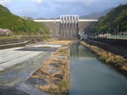
Dam Photo
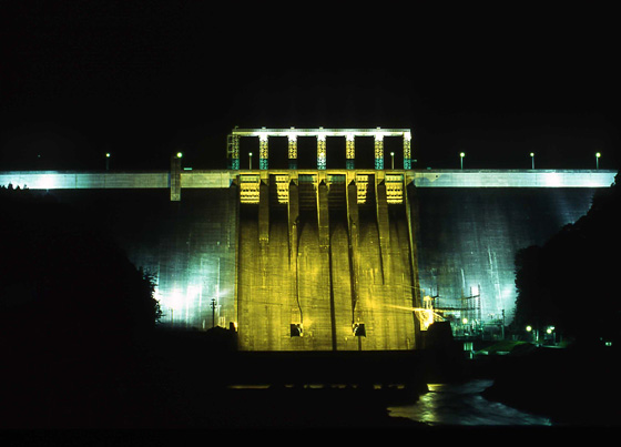
(Photo by: Takashi Yasukochi)
|
 040452 Minoru Shigeta
|
|
 061273 Japan Dam Foundation
|
|
 035270 Hi Ace
|
|
 014117 Masato Kawakita
|
|
 069958 Sanchan
|
|
 069966 Sanchan
|
|
 069979 Sanchan
|
|
 075662 aki
|
|
|
| Location (Latitude, Longitude) |
N 33°451' 24'',E 133°33' 02''
[Japanese Dam Finder]
|
| Purpose/Dam type |
FNAWIP/G
|
| Height/Crest length/Dam volume |
106m/400m/1200 thousand m3 |
| Catchment area/Water surface area |
472km2/750ha |
| Reservoir capacity |
316000 thousand m3 |
| FY project started/completed |
1965/1978
|
