Dam data table
|
Dam No.:2412
|
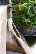
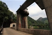
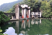
Benjo Dam [Fukuoka Pref.]
|
|
|
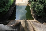
Dam Photo
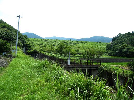
(Photo by: Dai)
|
 101317 KIYOTAKA
|
|
 112498 Takashi Yasukochi
|
|
 112501 Takashi Yasukochi
|
|
 112499 Takashi Yasukochi
|
|
|
| Location (Latitude, Longitude) |
N 33°421' 59'',E 130°47' 38''
[Japanese Dam Finder]
|
| Purpose/Dam type |
A/E
|
| Height/Crest length/Dam volume |
23.1m/151m/139 thousand m3 |
| Catchment area/Water surface area |
2.5km2/2ha |
| Reservoir capacity |
208 thousand m3 |
| FY project started/completed |
/1966
|
