Dam data table
|
Dam No.:2427
|
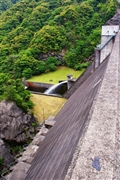
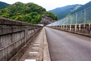
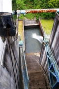
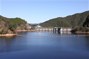
Jinya Dam [Fukuoka Pref.]
|
|
|
Dam Photo
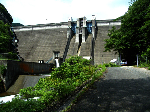
(Photo by: Dai)
|
 102886 KIYOTAKA
|
|
 102887 KIYOTAKA
|
|
 102889 KIYOTAKA
|
|
 120490 Senzo
|
|
|
| Location (Latitude, Longitude) |
N 33°311' 39'',E 130°50' 42''
[Japanese Dam Finder]
|
| Purpose/Dam type |
FNWI/G
|
| Height/Crest length/Dam volume |
48.5m/205m/130 thousand m3 |
| Catchment area/Water surface area |
12.6km2/14ha |
| Reservoir capacity |
2650 thousand m3 |
| FY project started/completed |
1967/1974
|
