Dam data table
|
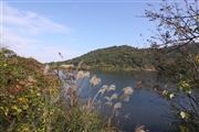
Dam No.:2438
|
Ogawa Dam [Fukuoka Pref.]
|
|
|
Dam Photo
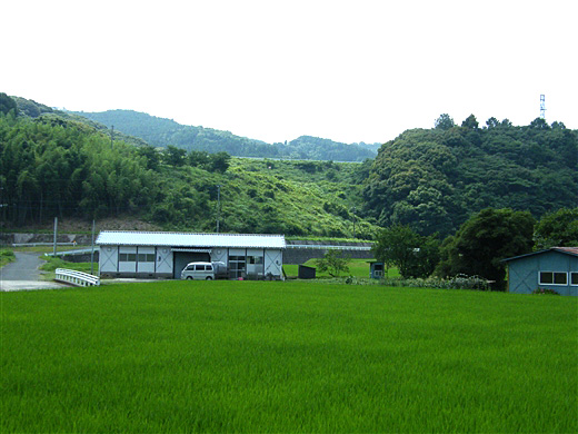
(Photo by: Dai)
|
 105101 Dai
|
|
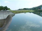
 105099 Dai
|
|
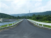
 120507 Senzo
|
|
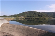
 120509 Senzo
|
|
|
| Location (Latitude, Longitude) |
N 33°361' 59'',E 131°1' 35''
[Japanese Dam Finder]
|
| Purpose/Dam type |
A/R
|
| Height/Crest length/Dam volume |
37m/275m/334 thousand m3 |
| Catchment area/Water surface area |
10.1km2/10ha |
| Reservoir capacity |
981 thousand m3 |
| FY project started/completed |
1971/1996
|
