Dam data table
|
Dam No.:2440
|
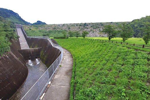
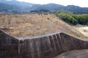
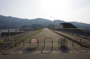
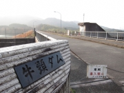
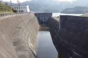
Ushikubi Dam [Fukuoka Pref.]
|
|
|
Dam Photo
(Photo by: Takashi Yasukochi)
|
 250689
|
|
 160928 Dai
|
|
 159302 Hiro@
|
|
 160929 Dai
|
|
|
| Location (Latitude, Longitude) |
N 33°291' 10'',E 130°28' 45''
[Japanese Dam Finder]
|
| Purpose/Dam type |
FN/R
|
| Height/Crest length/Dam volume |
52.7m/383m/1065 thousand m3 |
| Catchment area/Water surface area |
4.4km2/23ha |
| Reservoir capacity |
2280 thousand m3 |
| FY project started/completed |
1972/1991
|
