Dam data table
|
Dam No.:2522
|
Kitaura Tameike [Saga Pref.]
|
|
|
Dam Photo
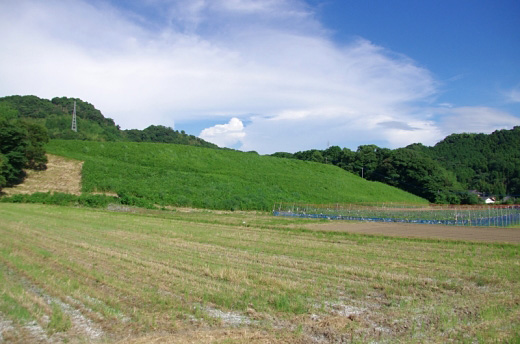
(Photo by: Dai)
|
|
| Location (Latitude, Longitude) |
N 33°181' 29'',E 130°12' 32''
[Japanese Dam Finder]
|
| Purpose/Dam type |
A/E
|
| Height/Crest length/Dam volume |
17.9m/192m/170 thousand m3 |
| Catchment area/Water surface area |
km2/4ha |
| Reservoir capacity |
368 thousand m3 |
| FY project started/completed |
/1948
|
