Dam data table
|
Dam No.:2524
|
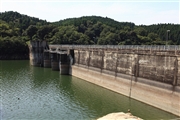
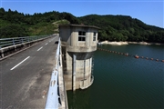
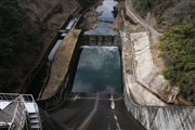
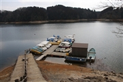
Hokuzan Dam [Saga Pref.]
|
|
|
Dam Photo
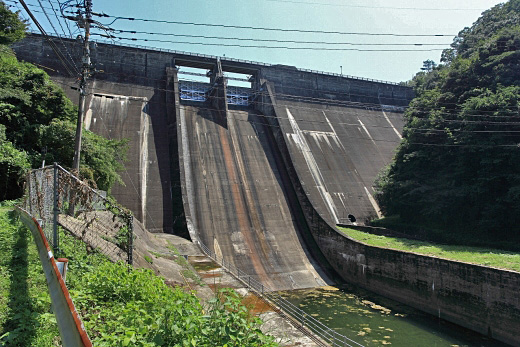
(Photo by: Takashi Yasukochi)
|
 112625 Takashi Yasukochi
|
|
 112631 Takashi Yasukochi
|
|
 106563 Hatsuo Kakehashi
|
|
 106561 Hatsuo Kakehashi
|
|
|
| Location (Latitude, Longitude) |
N 33°261' 02'',E 130°14' 14''
[Japanese Dam Finder]
|
| Purpose/Dam type |
AP/G
|
| Height/Crest length/Dam volume |
59.3m/180m/145 thousand m3 |
| Catchment area/Water surface area |
54.6km2/200ha |
| Reservoir capacity |
22250 thousand m3 |
| FY project started/completed |
1950/1956
|
