Dam data table
|
Dam No.:2543
|
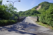
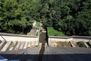
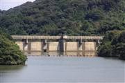
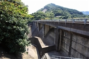
Hirakoba Dam [Saga Pref.]
|
|
|
Dam Photo
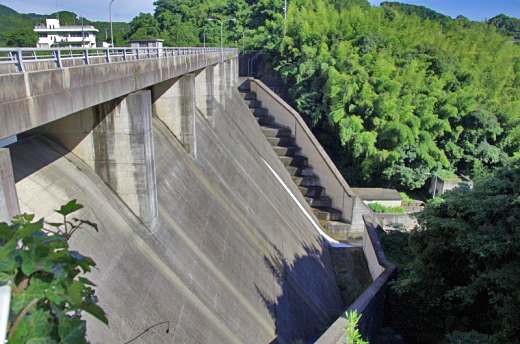
(Photo by: Dai)
|
 140642 Dai
|
|
 112688 Takashi Yasukochi
|
|
 112684 Takashi Yasukochi
|
|
 112685 Takashi Yasukochi
|
|
|
| Location (Latitude, Longitude) |
N 33°251' 56'',E 129°56' 44''
[Japanese Dam Finder]
|
| Purpose/Dam type |
FNW/G
|
| Height/Crest length/Dam volume |
29.5m/117m/28 thousand m3 |
| Catchment area/Water surface area |
2.2km2/10ha |
| Reservoir capacity |
1080 thousand m3 |
| FY project started/completed |
1972/1983
|
