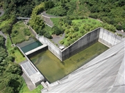
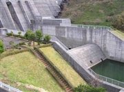
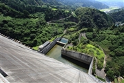
Dam data table
|
Dam No.:2545
|
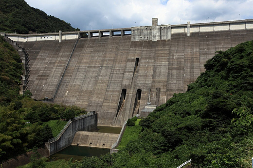
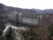
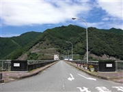
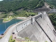
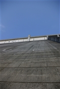
Kyuragi Dam [Saga Pref.]
|
|
|
Dam Photo
(Photo by: Takashi Yasukochi)
|
 035951 Hi Ace
|
|
 082931 Japan Dam Foundation
|
|
 082947 Japan Dam Foundation
|
|
 082936 Japan Dam Foundation
|
|
 035936 Hi Ace
|
|
 112713 Takashi Yasukochi
|
|
 094880 Rui Abe
|
|
 075717 NAUTIS
|
|
|
| Location (Latitude, Longitude) |
N 33°191' 41'',E 130°6' 08''
[Japanese Dam Finder]
|
| Purpose/Dam type |
FNWIP/G
|
| Height/Crest length/Dam volume |
117m/390.4m/1088 thousand m3 |
| Catchment area/Water surface area |
33.7km2/42ha |
| Reservoir capacity |
13600 thousand m3 |
| FY project started/completed |
1973/1986
|
