Dam data table
|
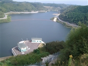
Dam No.:2549
|
Fujinohira Dam [Saga Pref.]
|
|
|
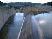
Dam Photo
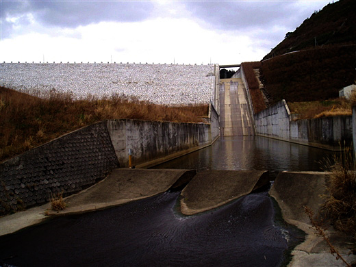
(Photo by: NAUTIS)
|
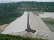 011025
|
|
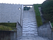 011043
|
|
 011045
|
|
 011034
|
|
|
| Location (Latitude, Longitude) |
N 33°271' 52'',E 129°53' 08''
[Japanese Dam Finder]
|
| Purpose/Dam type |
A/R
|
| Height/Crest length/Dam volume |
58.4m/296.2m/1207 thousand m3 |
| Catchment area/Water surface area |
15.6km2/21ha |
| Reservoir capacity |
3575 thousand m3 |
| FY project started/completed |
1990/2002
|
