Dam data table
|
Dam No.:2608
|
Kawatani Dam [Nagasaki Pref.]
|
|
|
Dam Photo
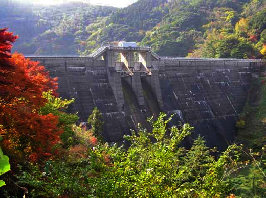
(Photo by: Hi Ace)
|
|
| Location (Latitude, Longitude) |
N 33°111' 23'',E 129°47' 02''
[Japanese Dam Finder]
|
| Purpose/Dam type |
AW/G
|
| Height/Crest length/Dam volume |
46m/178m/85 thousand m3 |
| Catchment area/Water surface area |
6.5km2/13ha |
| Reservoir capacity |
2020 thousand m3 |
| FY project started/completed |
1950/1954
|
