[Back]  [Dams in Japan]  [Japanese Page]


Dam data table
 
Dam No.:2611
 
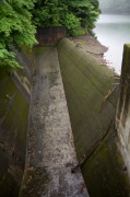
Ohkawahara Dam [Nagasaki Pref.]
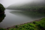

Dam Photo

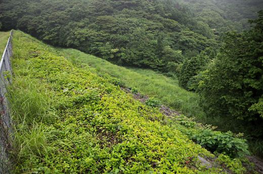
(Photo by: Ryo Shibazaki)
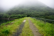
163522 Ryo Shibazaki
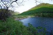
130960 Dai
163521 Ryo Shibazaki
163524 Ryo Shibazaki
Location (Latitude, Longitude) N 32°431' 02'',E 128°40' 50''   [Japanese Dam Finder]
Purpose/Dam type A/R
Height/Crest length/Dam volume 25.3m/123m/98 thousand m3
Catchment area/Water surface area 3.2km2/9ha
Reservoir capacity 763 thousand m3
FY project started/completed 1961/1965


Notes:
1. Dam purposes are abbreviated as follows:
A: Agricultural irrigation   F: Flood control   I: Water supply for industry   N: Non-specified, river flow maintenance
P: Hydropower   R: Recreation   S: Snow melting &removing   W: Water supply

2. Dam types are abbreviated as follows:
A: Arch   B: Buttress   CSG: Trapezoidal CSG   E: Earthfill   FA: Asphalt face fill   FC: Asphalt core fill   G: Gravity
GF: Gravity concrete & fill dam (compound)   HG: Hollow gravity   MA: Multi-arch   R: Rockfill

3. The fiscal year (FY) in Japan is from April 1 to March 31 of the following year.

Please send your comments
Copyright 2012 JAPAN DAM FOUNDATION. All rights reserved.

[Back]  [Dams in Japan]  [Japanese Page]