Dam data table
|
Dam No.:2635
|
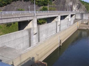
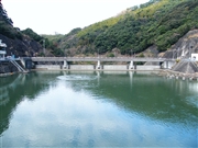
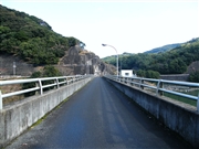
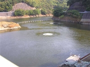
Kanoo Dam [Nagasaki Pref.]
|
|
|
Dam Photo
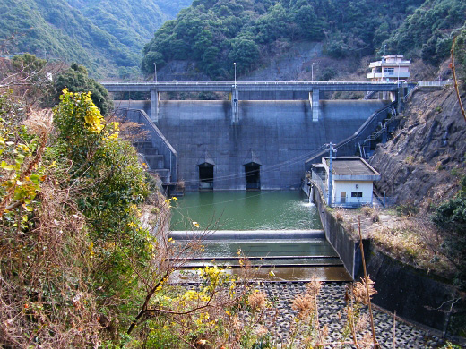
(Photo by: Dai)
|
 036609 Hi Ace
|
|
 098119 Dai
|
|
 098117 Dai
|
|
 036615 Hi Ace
|
|
|
| Location (Latitude, Longitude) |
N 32°411' 51'',E 129°51' 48''
[Japanese Dam Finder]
|
| Purpose/Dam type |
FNW/G
|
| Height/Crest length/Dam volume |
34.6m/88m/33 thousand m3 |
| Catchment area/Water surface area |
10.3km2/15ha |
| Reservoir capacity |
1140 thousand m3 |
| FY project started/completed |
1974/1987
|
