Dam data table
|
Dam No.:2661
|
Ichifusa Dam [Kumamoto Pref.]
|
|
|
Dam Photo
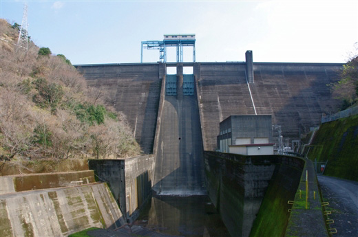
(Photo by: Dai)
|
|
| Location (Latitude, Longitude) |
N 32°191' 12'',E 131°0' 46''
[Japanese Dam Finder]
|
| Purpose/Dam type |
FNP/G
|
| Height/Crest length/Dam volume |
78.5m/258.5m/313 thousand m3 |
| Catchment area/Water surface area |
157.8km2/165ha |
| Reservoir capacity |
40200 thousand m3 |
| FY project started/completed |
1953/1959
|
