Dam data table
|
Dam No.:2665
|
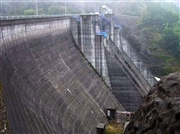
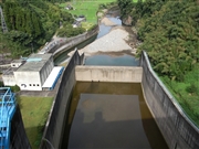
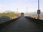
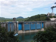
Midorikawa Dam [Kumamoto Pref.]
|
|
|
Dam Photo
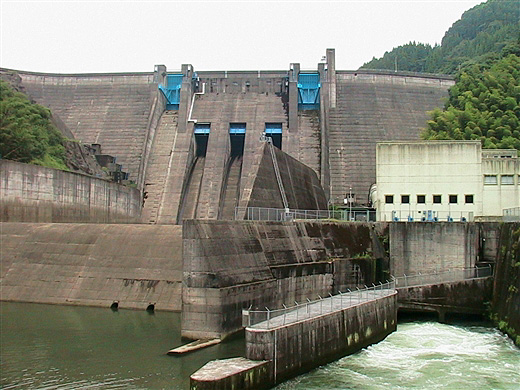
(Photo by: Rui Abe)
|
 036960 Hi Ace
|
|
 082967 Japan Dam Foundation
|
|
 036983 Hi Ace
|
|
 082973 Japan Dam Foundation
|
|
|
| Location (Latitude, Longitude) |
N 32°371' 37'',E 130°54' 32''
[Japanese Dam Finder]
|
| Purpose/Dam type |
FNAP/G
|
| Height/Crest length/Dam volume |
76.5m/295.3m/367 thousand m3 |
| Catchment area/Water surface area |
359km2/181ha |
| Reservoir capacity |
46000 thousand m3 |
| FY project started/completed |
1964/1970
|
