Dam data table
|
Dam No.:2755
|
Chikura Dam [Oita Pref.]
|
|
|
Dam Photo
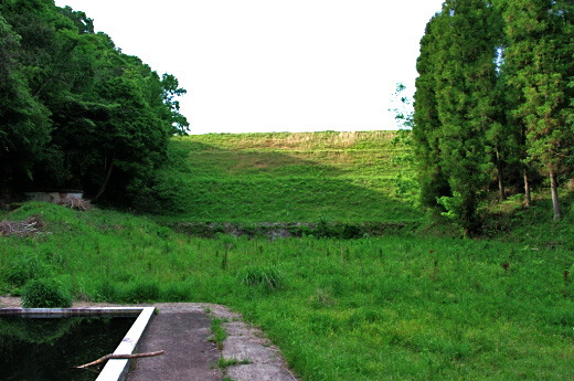
(Photo by: Dai)
|
|
| Location (Latitude, Longitude) |
N 33°221' 07'',E 130°55' 45''
[Japanese Dam Finder]
|
| Purpose/Dam type |
A/E
|
| Height/Crest length/Dam volume |
22m/94.5m/64 thousand m3 |
| Catchment area/Water surface area |
2.8km2/8ha |
| Reservoir capacity |
567 thousand m3 |
| FY project started/completed |
1957/1965
|
