Dam data table
|
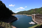
Dam No.:2757
|
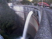
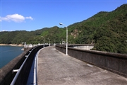
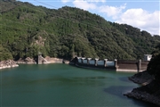
Kitagawa Dam [Oita Pref.]
|
|
|
Dam Photo
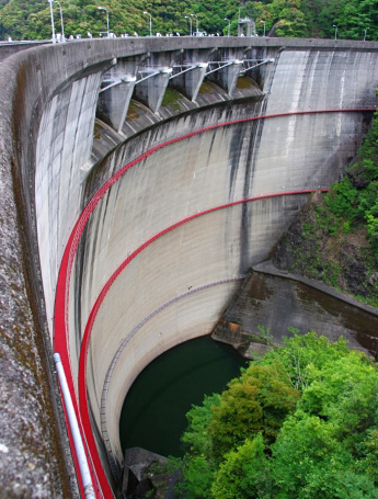
(Photo by: Dai)
|
 037319 Hi Ace
|
|
 131050 Senzo
|
|
 131052 Senzo
|
|
 131045 Senzo
|
|
|
| Location (Latitude, Longitude) |
N 32°471' 26'',E 131°36' 28''
[Japanese Dam Finder]
|
| Purpose/Dam type |
FP/A
|
| Height/Crest length/Dam volume |
82m/188.3m/66 thousand m3 |
| Catchment area/Water surface area |
211km2/200ha |
| Reservoir capacity |
41000 thousand m3 |
| FY project started/completed |
1958/1962
|
