Dam data table
|
Dam No.:2763
|
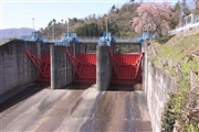
Hiju Dam [Oita Pref.]
|
|
|
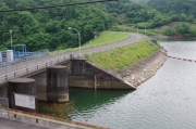
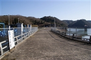
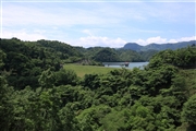
Dam Photo
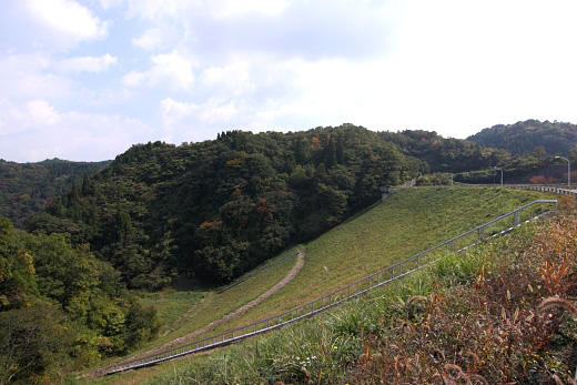
(Photo by: Senzo)
|
 162431 Dai
|
|
 125766 KIYOTAKA
|
|
 126723 Senzo
|
|
 123811 Senzo
|
|
|
| Location (Latitude, Longitude) |
N 33°211' 17'',E 131°14' 56''
[Japanese Dam Finder]
|
| Purpose/Dam type |
A/R
|
| Height/Crest length/Dam volume |
48m/196.3m/534 thousand m3 |
| Catchment area/Water surface area |
26km2/46ha |
| Reservoir capacity |
8000 thousand m3 |
| FY project started/completed |
1964/1969
|
