Dam data table
|
Dam No.:2778
|
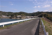
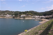
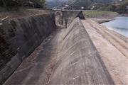
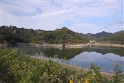
Nameshi Dam [Oita Pref.]
|
|
|
Dam Photo
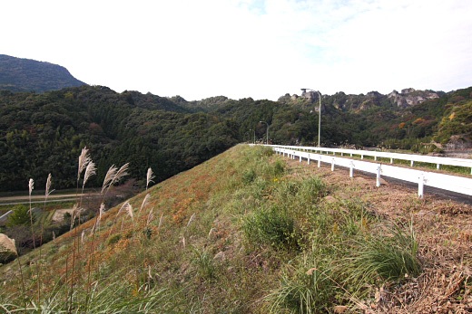
(Photo by: Senzo)
|
 123822 Senzo
|
|
 123825 Senzo
|
|
 123821 Senzo
|
|
 119004 Senzo
|
|
|
| Location (Latitude, Longitude) |
N 33°331' 56'',E 131°34' 01''
[Japanese Dam Finder]
|
| Purpose/Dam type |
A/R
|
| Height/Crest length/Dam volume |
38.5m/214.5m/302 thousand m3 |
| Catchment area/Water surface area |
6.5km2/16ha |
| Reservoir capacity |
1578 thousand m3 |
| FY project started/completed |
1969/1985
|
