Dam data table
|
Dam No.:2779
|
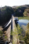
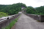
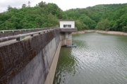
Matsugi Dam [Oita Pref.]
|
|
|
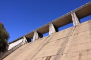
Dam Photo
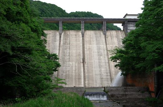
(Photo by: Dai)
|
 122320 KIYOTAKA
|
|
 162437 Dai
|
|
 162438 Dai
|
|
 132540 Senzo
|
|
|
| Location (Latitude, Longitude) |
N 33°171' 13'',E 131°13' 07''
[Japanese Dam Finder]
|
| Purpose/Dam type |
A/G
|
| Height/Crest length/Dam volume |
48.5m/128m/62 thousand m3 |
| Catchment area/Water surface area |
25.2km2/12ha |
| Reservoir capacity |
1300 thousand m3 |
| FY project started/completed |
1966/1976
|
