Dam data table
|
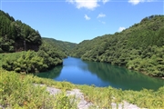
Dam No.:2795
|
Nakanokawa Dam [Oita Pref.]
|
|
|
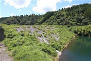
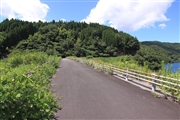
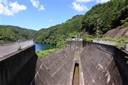
Dam Photo
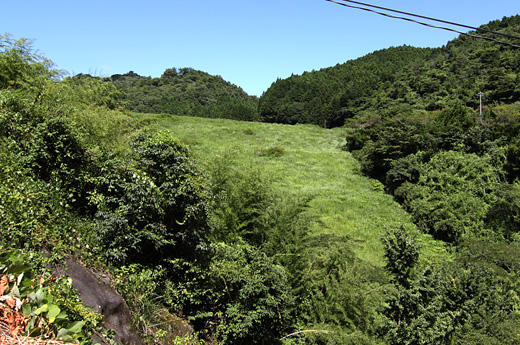
(Photo by: Senzo)
|
 126788 Senzo
|
|
 126790 Senzo
|
|
 126785 Senzo
|
|
 126791 Senzo
|
|
|
| Location (Latitude, Longitude) |
N 33°91' 55'',E 131°46' 06''
[Japanese Dam Finder]
|
| Purpose/Dam type |
FA/R
|
| Height/Crest length/Dam volume |
37.3m/120m/205 thousand m3 |
| Catchment area/Water surface area |
4.8km2/8ha |
| Reservoir capacity |
881 thousand m3 |
| FY project started/completed |
1972/1987
|
