Dam data table
|
Dam No.:2796
|
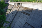
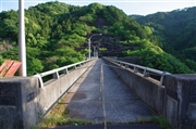
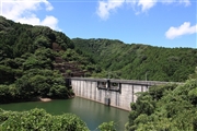
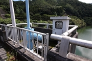
Noda Dam [Oita Pref.]
|
|
|
Dam Photo
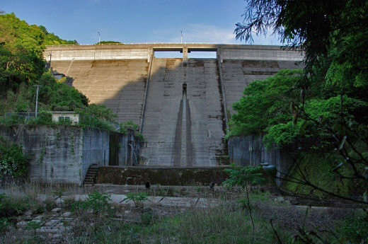
(Photo by: Dai)
|
 122996 Dai
|
|
 122995 Dai
|
|
 126797 Senzo
|
|
 126796 Senzo
|
|
|
| Location (Latitude, Longitude) |
N 33°51' 40'',E 131°47' 10''
[Japanese Dam Finder]
|
| Purpose/Dam type |
FA/G
|
| Height/Crest length/Dam volume |
38.7m/126m/44 thousand m3 |
| Catchment area/Water surface area |
2.4km2/4ha |
| Reservoir capacity |
452 thousand m3 |
| FY project started/completed |
1981/1991
|
