|
|
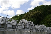
Dam Photo
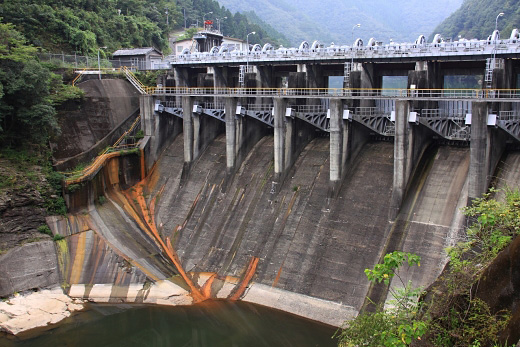
(Photo by: Takashi Yasukochi)
|
 112894 Takashi Yasukochi
|
|
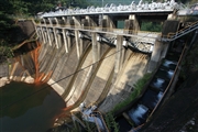
 112889 Takashi Yasukochi
|
|
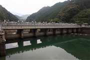
 106712 KIYOTAKA
|
|
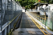
 106714 KIYOTAKA
|
|
|
| Location (Latitude, Longitude) |
N 32°291' 54'',E 131°22' 04''
[Japanese Dam Finder]
|
| Purpose/Dam type |
P/G
|
| Height/Crest length/Dam volume |
29.4m/91.1m/21 thousand m3 |
| Catchment area/Water surface area |
598.6km2/42.5ha |
| Reservoir capacity |
4194 thousand m3 |
| FY project started/completed |
1920/1931
|
