Dam data table
|
Dam No.:2808
|
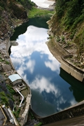
Tsukabaru Dam [Miyazaki Pref.]
|
|
|
Dam Photo
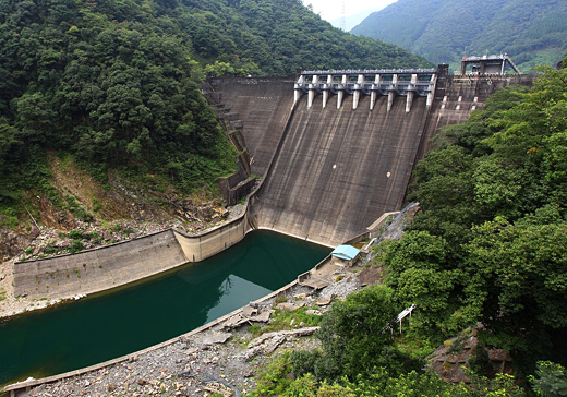
(Photo by: Takashi Yasukochi)
|
 086265 Ike-chan
|
|
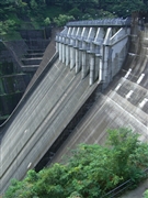
 112909 Takashi Yasukochi
|
|
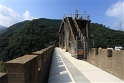
 112900 Takashi Yasukochi
|
|
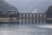
 119961 KIYOTAKA
|
|
|
| Location (Latitude, Longitude) |
N 32°301' 20'',E 131°18' 01''
[Japanese Dam Finder]
|
| Purpose/Dam type |
P/G
|
| Height/Crest length/Dam volume |
87m/215m/363 thousand m3 |
| Catchment area/Water surface area |
430.7km2/122ha |
| Reservoir capacity |
34326 thousand m3 |
| FY project started/completed |
1920/1938
|
