Dam data table
|
Dam No.:2815
|
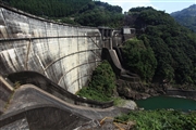
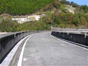
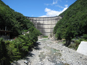
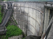
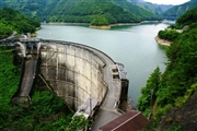
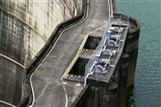
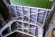
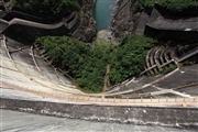
Kamishiiba Dam [Miyazaki Pref.]
|
|
|
Dam Photo
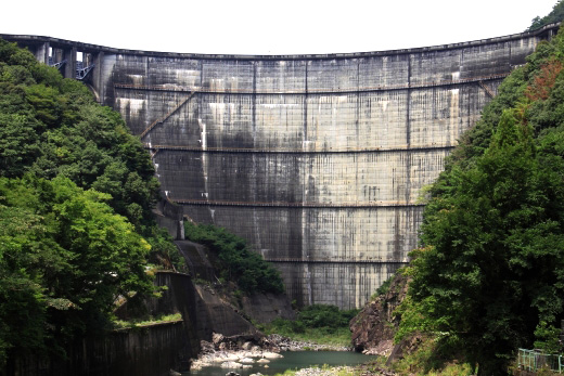
(Photo by: Takashi Yasukochi)
|
 112935 Takashi Yasukochi
|
|
 037745 Hi Ace
|
|
 061517 Mac
|
|
 040451 Minoru Shigeta
|
|
 105859 KIYOTAKA
|
|
 105856 KIYOTAKA
|
|
 105861 KIYOTAKA
|
|
 112941 Takashi Yasukochi
|
|
|
| Location (Latitude, Longitude) |
N 32°271' 37'',E 131°8' 58''
[Japanese Dam Finder]
|
| Purpose/Dam type |
P/A
|
| Height/Crest length/Dam volume |
110m/341m/390 thousand m3 |
| Catchment area/Water surface area |
223.6km2/266ha |
| Reservoir capacity |
91550 thousand m3 |
| FY project started/completed |
1949/1955
|
