Dam data table
|
Dam No.:2821
|
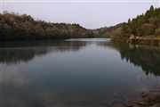
Seiroku Tameike [Miyazaki Pref.]
|
|
|
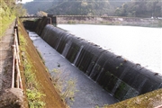
Dam Photo
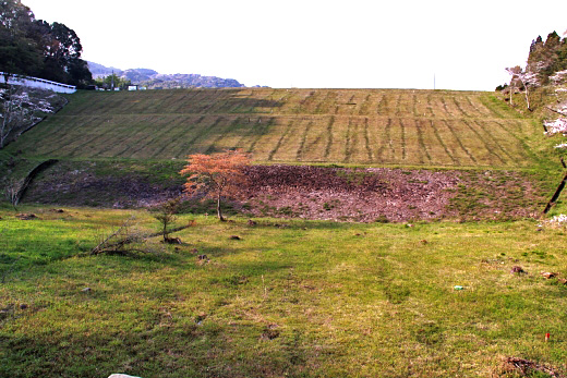
(Photo by: Ike-chan)
|
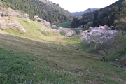 100135 Ike-chan
|
|
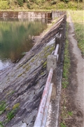 100138 Ike-chan
|
|
 100152 Ike-chan
|
|
 100163 Ike-chan
|
|
|
| Location (Latitude, Longitude) |
N 32°131' 26'',E 131°28' 57''
[Japanese Dam Finder]
|
| Purpose/Dam type |
A/E
|
| Height/Crest length/Dam volume |
31.3m/140m/192 thousand m3 |
| Catchment area/Water surface area |
4.9km2/9ha |
| Reservoir capacity |
907 thousand m3 |
| FY project started/completed |
/1959
|
