Dam data table
|
Dam No.:2833
|
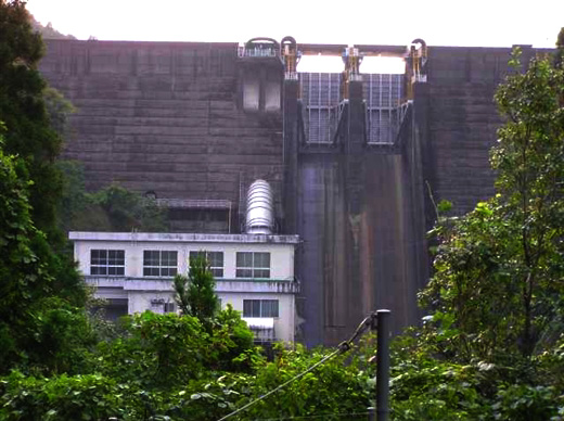
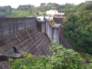
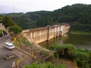
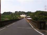
Iwase Dam [Miyazaki Pref.]
|
→ Iwase Dam (Re)
|
|
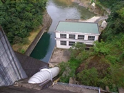
Dam Photo
(Photo by: Hi Ace)
|
 038003 Hi Ace
|
|
 038020 Hi Ace
|
|
 038011 Hi Ace
|
|
 038012 Hi Ace
|
|
|
| Location (Latitude, Longitude) |
N 31°561' 31'',E 131°8' 23''
[Japanese Dam Finder]
|
| Purpose/Dam type |
FP/G
|
| Height/Crest length/Dam volume |
55.5m/155m/98 thousand m3 |
| Catchment area/Water surface area |
354km2/413ha |
| Reservoir capacity |
57000 thousand m3 |
| FY project started/completed |
1953/1967
|
