Dam data table
|
Dam No.:2861
|
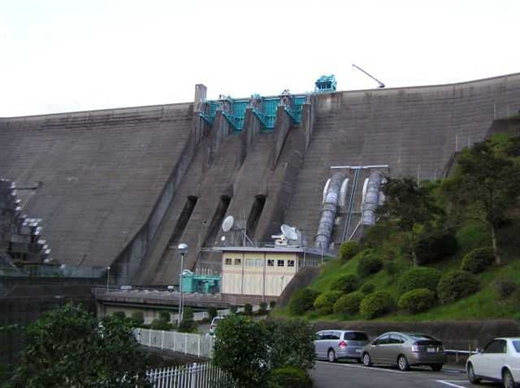
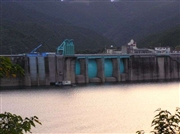
Tsuruda Dam (Pre) [Kagoshima Pref.]
|
→ Tsuruda Dam (Re)
|
|
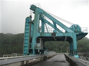
Dam Photo
(Photo by: Hi Ace)
|
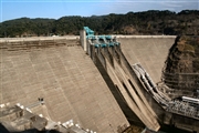 075589 Rui Abe
|
|
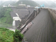 083039 Japan Dam Foundation
|
|
 083041 Japan Dam Foundation
|
|
 038373 Hi Ace
|
|
|
| Location (Latitude, Longitude) |
N 31°591' 19'',E 130°29' 38''
[Japanese Dam Finder]
|
| Purpose/Dam type |
FP/G
|
| Height/Crest length/Dam volume |
117.5m/450m/1119 thousand m3 |
| Catchment area/Water surface area |
805km2/361ha |
| Reservoir capacity |
123000 thousand m3 |
| FY project started/completed |
1959/1965
|
