Dam data table
|
Dam No.:2879
|
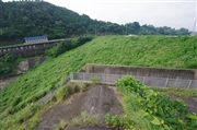
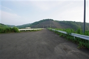
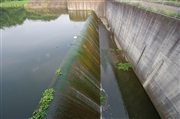
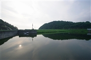
Takanosu Dam [Kagoshima Pref.]
|
|
|
Dam Photo
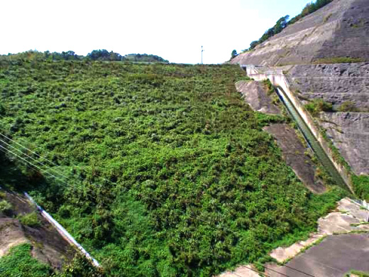
(Photo by: Hi Ace)
|
 125479 Dai
|
|
 125477 Dai
|
|
 125478 Dai
|
|
 125480 Dai
|
|
|
| Location (Latitude, Longitude) |
N 32°121' 10'',E 130°10' 58''
[Japanese Dam Finder]
|
| Purpose/Dam type |
A/E
|
| Height/Crest length/Dam volume |
28.9m/117.4m/196 thousand m3 |
| Catchment area/Water surface area |
1.8km2/4ha |
| Reservoir capacity |
290 thousand m3 |
| FY project started/completed |
1979/1988
|
