[Back]  [Dams in Japan]  [Japanese Page]


Dam data table
 
Dam No.:2901
 
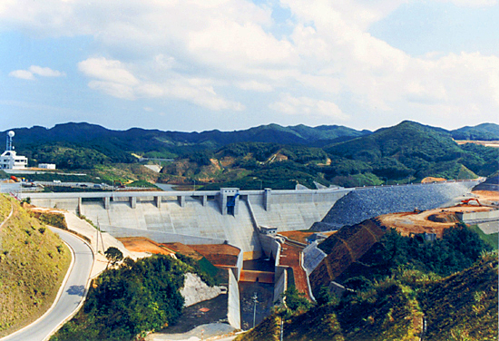
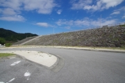
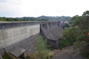
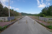
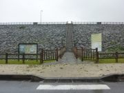
Benoki Dam [Okinawa Pref.]


Dam Photo


132433 Dai
132436 Dai
132435 Dai
158705 Yuichi Ogura
Location (Latitude, Longitude) N 26°471' 10'',E 128°15' 24''   [Japanese Dam Finder]
Purpose/Dam type FNWI/GF
Height/Crest length/Dam volume 42m/560.1m/580 thousand m3
Catchment area/Water surface area 8.1km2/50ha
Reservoir capacity 4500 thousand m3
FY project started/completed 1975/1987


Notes:
1. Dam purposes are abbreviated as follows:
A: Agricultural irrigation   F: Flood control   I: Water supply for industry   N: Non-specified, river flow maintenance
P: Hydropower   R: Recreation   S: Snow melting &removing   W: Water supply

2. Dam types are abbreviated as follows:
A: Arch   B: Buttress   CSG: Trapezoidal CSG   E: Earthfill   FA: Asphalt face fill   FC: Asphalt core fill   G: Gravity
GF: Gravity concrete & fill dam (compound)   HG: Hollow gravity   MA: Multi-arch   R: Rockfill

3. The fiscal year (FY) in Japan is from April 1 to March 31 of the following year.

Please send your comments
Copyright 2012 JAPAN DAM FOUNDATION. All rights reserved.

[Back]  [Dams in Japan]  [Japanese Page]