Dam data table
|
Dam No.:2962
|
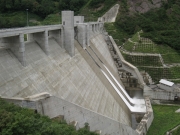
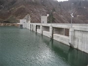
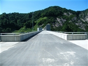
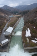
Yokokawa Dam [Yamagata Pref.]
|
|
|
Dam Photo
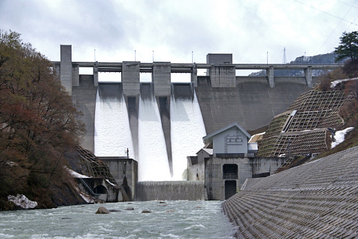
(Photo by: Suika)
|
 135184 s_wind
|
|
 122791 s_wind
|
|
 084775 Dai
|
|
 201672 Dam master
|
|
|
| Location (Latitude, Longitude) |
N 38°21' 20'',E 139°49' 33''
[Japanese Dam Finder]
|
| Purpose/Dam type |
FNIP/G
|
| Height/Crest length/Dam volume |
72.5m/277m/240 thousand m3 |
| Catchment area/Water surface area |
113.1km2/155ha |
| Reservoir capacity |
24600 thousand m3 |
| FY project started/completed |
1987/2007
|
