Dam data table
|
Dam No.:3000
|
Gamagori Choseichi (Re) [Aichi Pref.]
|
→ Toyooka-ike (Pre)
|
|
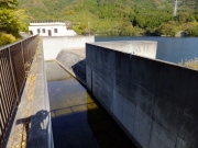
Dam Photo
(Photo by: Dai)
|
 019689 ToNo
|
|
 019688 ToNo
|
|
 074059 Dam master
|
|
 197201 Hajime Tanaka
|
|
|
| Location (Latitude, Longitude) |
N 34°491' 54'',E 137°15' 51''
[Japanese Dam Finder]
|
| Purpose/Dam type |
AW/R
|
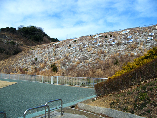
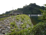
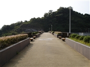
| Height/Crest length/Dam volume |
43.2m/178m/360 thousand m3 |
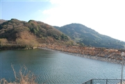
| Catchment area/Water surface area |
0.8km2/5ha |
| Reservoir capacity |
612 thousand m3 |
| FY project started/completed |
1977/1996
|
