Dam data table
|
Dam No.:3002
|
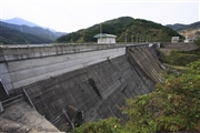
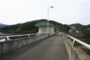
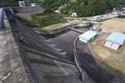
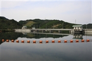
Sako Dam [Ehime Pref.]
|
|
|
Dam Photo
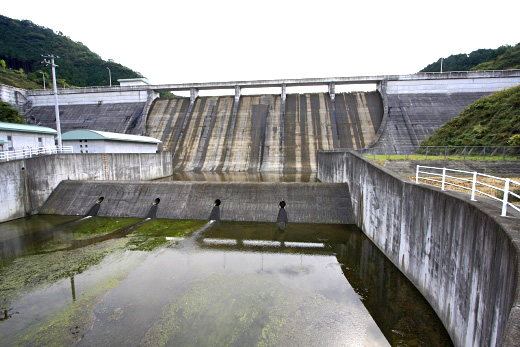
(Photo by: Takashi Yasukochi)
|
 098410 Takashi Yasukochi
|
|
 098414 Takashi Yasukochi
|
|
 098419 Takashi Yasukochi
|
|
 098442 Takashi Yasukochi
|
|
|
| Location (Latitude, Longitude) |
N 33°451' 59'',E 132°52' 29''
[Japanese Dam Finder]
|
| Purpose/Dam type |
A/G
|
| Height/Crest length/Dam volume |
31m/210m/63 thousand m3 |
| Catchment area/Water surface area |
4.1km2/11ha |
| Reservoir capacity |
1110 thousand m3 |
| FY project started/completed |
1989/2001
|
