Dam data table
|
Dam No.:3004
|
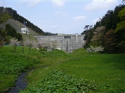
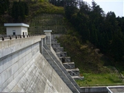
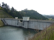
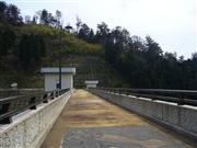
Kodomari Dam [Aomori Pref.]
|
|
|
Dam Photo
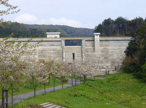
(Photo by: Kitaguni no NAGO)
|
 043588 Kitaguni no NAGO
|
|
 043591 Kitaguni no NAGO
|
|
 043595 Kitaguni no NAGO
|
|
 043598 Kitaguni no NAGO
|
|
|
| Location (Latitude, Longitude) |
N 41°71' 44'',E 140°20' 17''
[Japanese Dam Finder]
|
| Purpose/Dam type |
FNW/G
|
| Height/Crest length/Dam volume |
33.5m/121.5m/34 thousand m3 |
| Catchment area/Water surface area |
2.4km2/4ha |
| Reservoir capacity |
400 thousand m3 |
| FY project started/completed |
1988/1996
|
