Dam data table
|
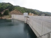
Dam No.:3039
|
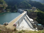
Ohtsuro Dam [Fukui Pref.]
|
|
|
Dam Photo
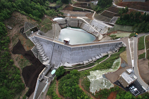
(Photo by: River Division, Fukui Prefecture)
|
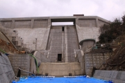 160606 Ike-chan
|
|
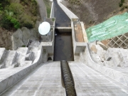 206122 Rui Abe
|
|
 203187 River Division, Fukui Prefecture
|
|
 197937 sagoH
|
|
|
| Location (Latitude, Longitude) |
N 35°271' 15'',E 135°37' 51''
[Japanese Dam Finder]
|
| Purpose/Dam type |
FNW/G
|
| Height/Crest length/Dam volume |
40.6m/158.5m/75 thousand m3 |
| Catchment area/Water surface area |
1.6km2/3ha |
| Reservoir capacity |
485 thousand m3 |
| FY project started/completed |
1989/2011
|
