Dam data table
|
Dam No.:3064
|
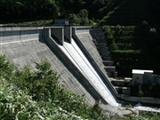
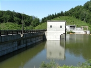
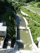
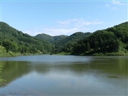
Ohno Dam [Hokkaido Pref.]
|
|
|
Dam Photo
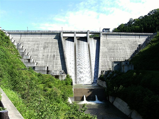
(Photo by: samson)
|
 105245 samson
|
|
 105239 samson
|
|
 105243 samson
|
|
 105251 samson
|
|
|
| Location (Latitude, Longitude) |
N 41°571' 27'',E 140°30' 46''
[Japanese Dam Finder]
|
| Purpose/Dam type |
AW/G
|
| Height/Crest length/Dam volume |
47.5m/160m/98 thousand m3 |
| Catchment area/Water surface area |
5.4km2/12ha |
| Reservoir capacity |
1600 thousand m3 |
| FY project started/completed |
1990/2002
|
