Dam data table
|
Dam No.:3081
|
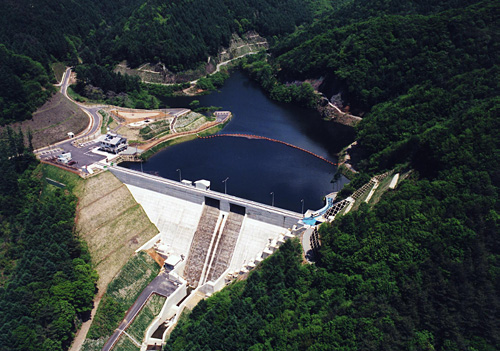
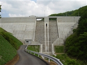
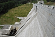
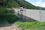
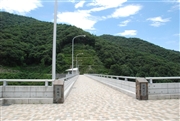
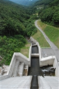
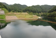
Yoji Dam [Nagano Pref.]
|
|
|
Dam Photo
 017965
|
|
 074299 Dam master
|
|
 074279 Dam master
|
|
 074287 Dam master
|
|
 074294 Dam master
|
|
 074312 Dam master
|
|
 074340 Dam master
|
|
 017963
|
|
|
| Location (Latitude, Longitude) |
N 36°91' 36'',E 138°33' 59''
[Japanese Dam Finder]
|
| Purpose/Dam type |
FNW/G
|
| Height/Crest length/Dam volume |
42m/147m/55 thousand m3 |
| Catchment area/Water surface area |
2.5km2/4ha |
| Reservoir capacity |
523 thousand m3 |
| FY project started/completed |
1990/2004
|